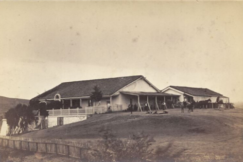
NRHP StoryMap
Last fall, intern Alana Hansen’s Geographic Information Systems (GIS) department project focused on connecting the National Register of Historic Places in the San Diego region. The purpose of her project was to create a user-friendly guide to San Diego history,…
SDRP StoryMap
Compiled by Geographic Information Systems (GIS) Interns John Henderson and Jared Kelly, the StoryMap’s purpose is to help educate visitors to the San Dieguito River Park about the rich cultural and environmental history of the region. The StoryMap contains information…

